
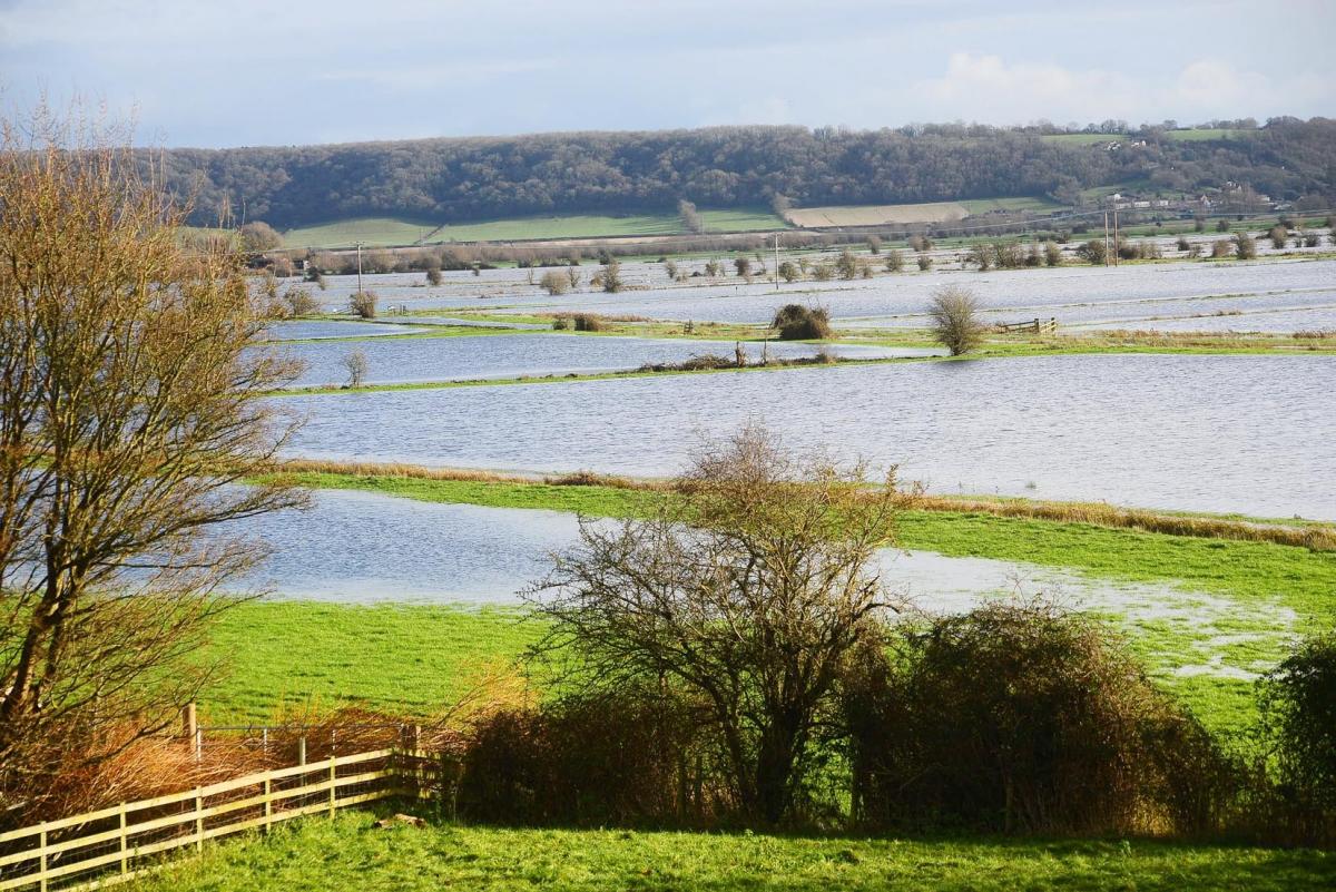
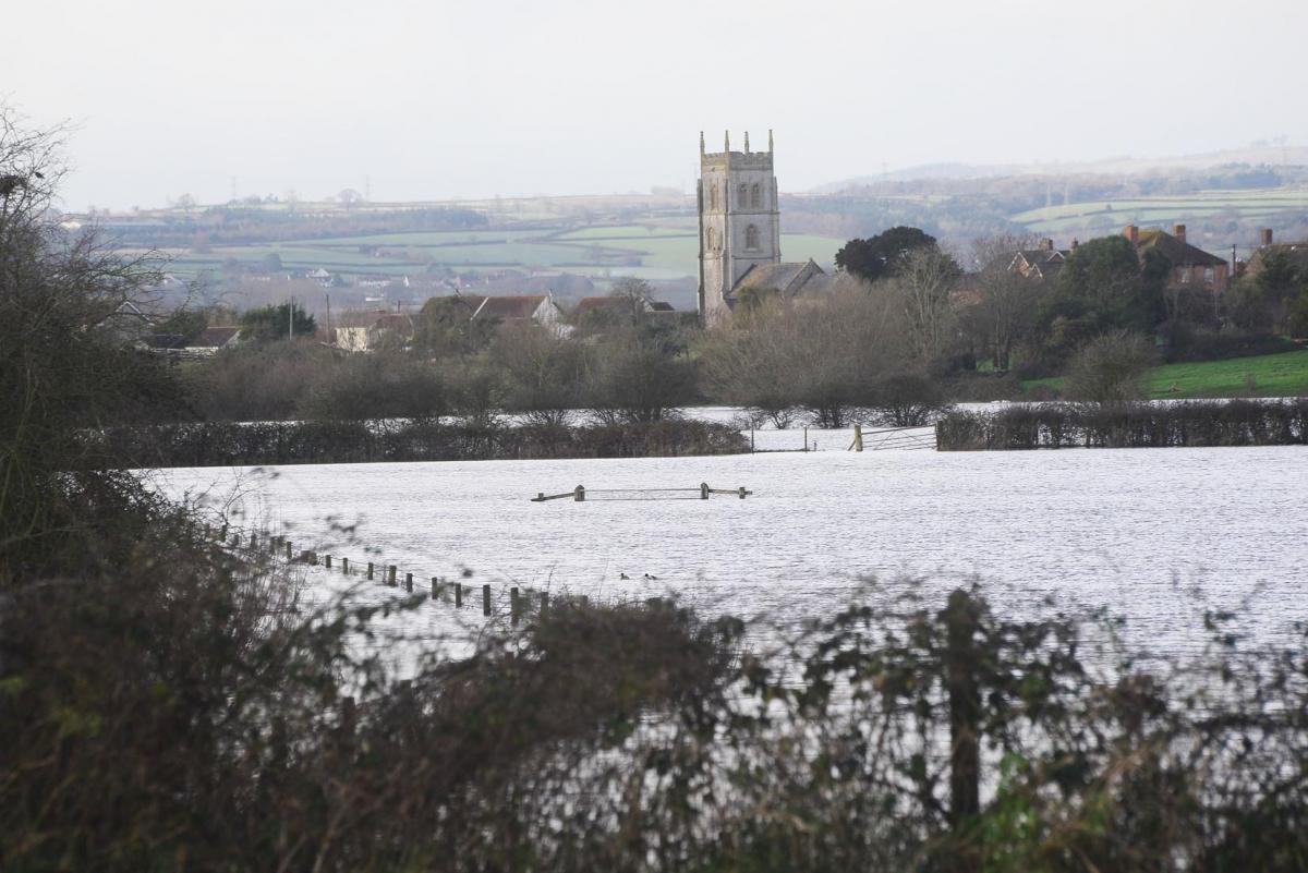
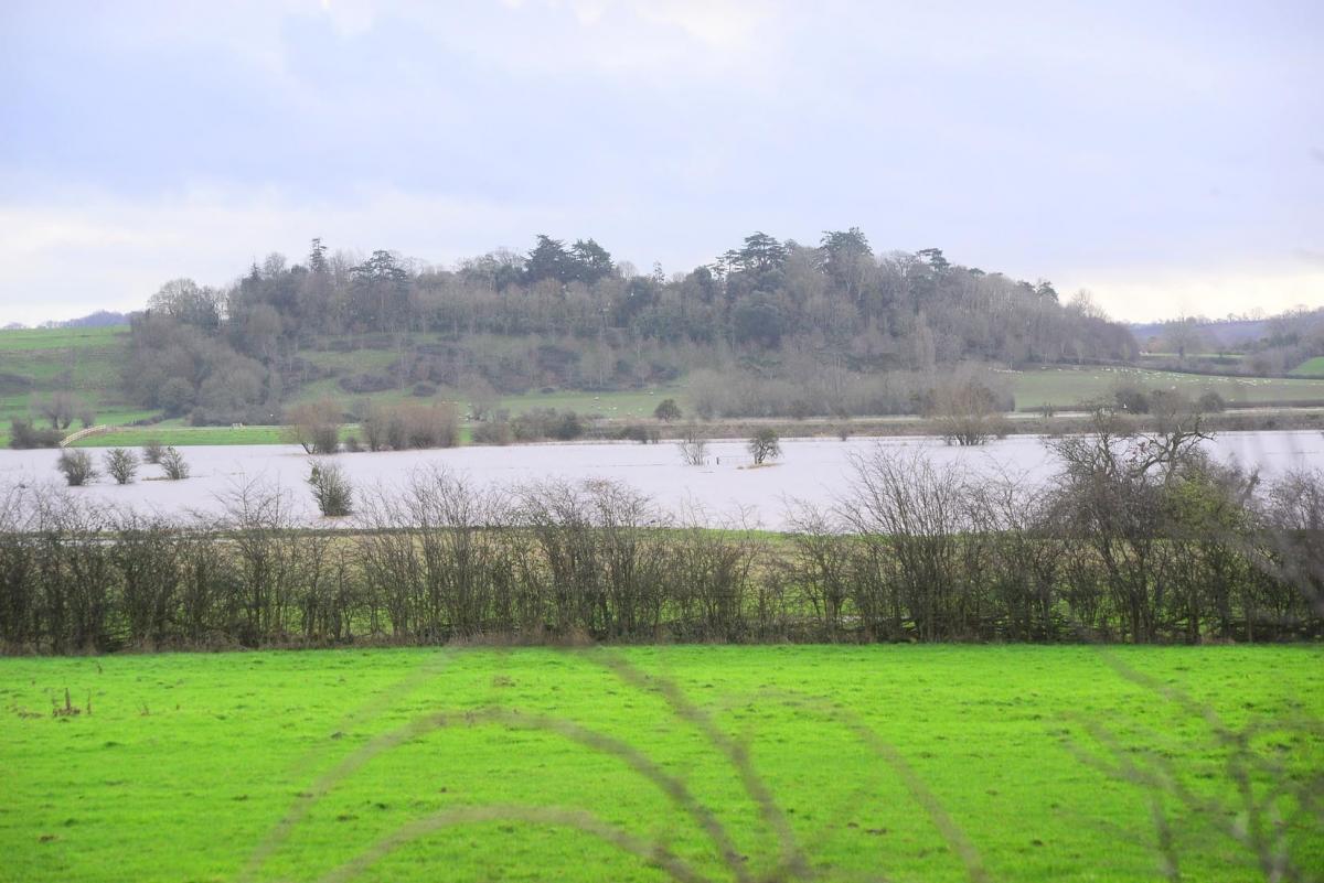
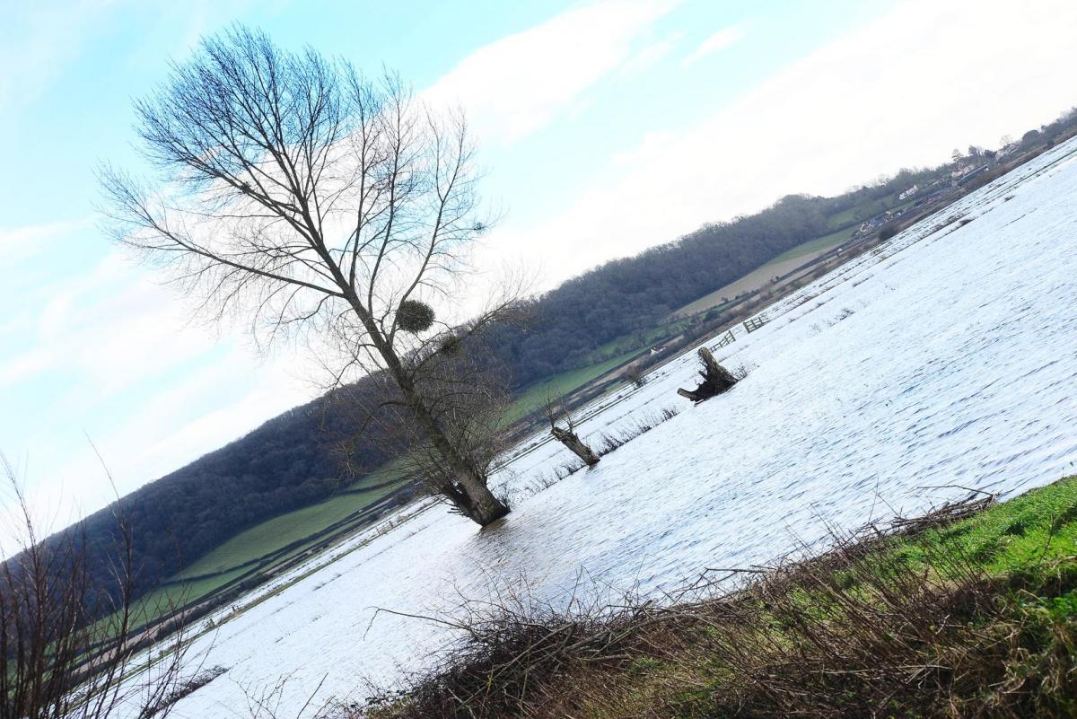
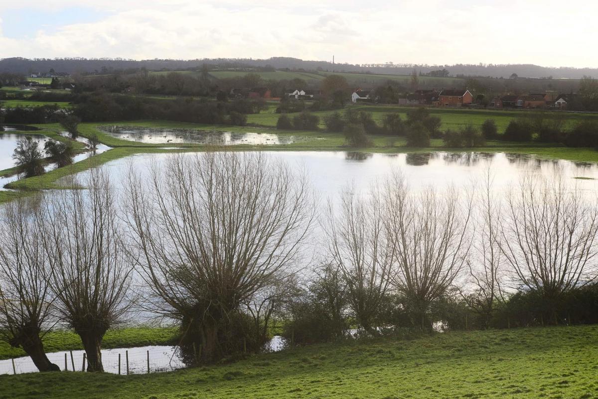
After weeks of rain Somerset is once again experiencing flooding as the rivers and rhynes overflow on the Levels.
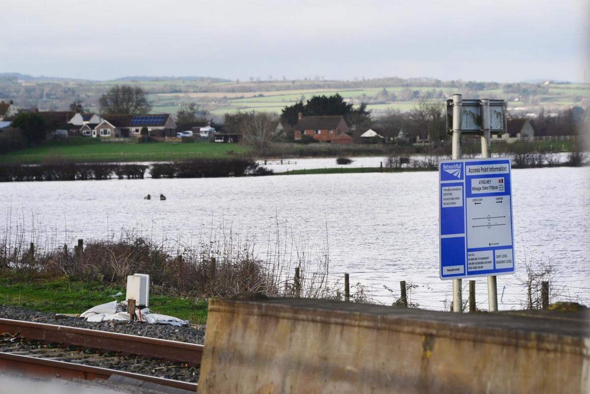
Cuts Road at East Lyng near Burrowbridge is underwater with New Road at Currymoor and the fields around in danger of being swamped. The Environment Agency have issued a flood warning for the area of Athelney, Stathe, Northmoor Green, Moorland, Pathe and Weston Zoyland.
Burrowbridge is where the rivers Tone and Parrett meet creating the potential for flooding in the moors to either side. Already North Curry’s link road to the A361 at West Lyng is awash while Centre Rhyne Lane and Stanmore Road are also under water along with the fields to either side with a vast new lake stretching away towards Burrow Mump where Stathe Road is also flooded in places.
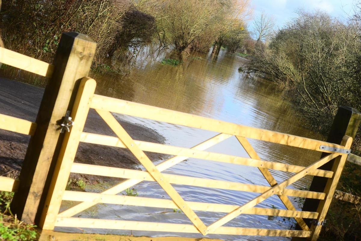
Somerset County Council made this statement to the Mercury about the gates: “The gates were installed recently and were one of the actions in the multi-agency Somerset Levels and Moors Flood Action Plan, the work of which is now coordinated by the Somerset Rivers Authority.
“They are to be used in place of temporary ‘road closed’ signs to stop vehicles driving through flood water and potentially getting stuck, as happened during the 2013/14 winter floods. There are gates on eight sites on four roads.
“The gates between Athelney and East Lyng were shut on Sunday night and will be reopened once the road is safe to use. Decisions to close or open the gates are made by police and highways, working on information about water levels provided by the Environment Agency.
“We understand that residents on the Levels will be keenly interested in the issue of flooding, especially during periods of bad weather. We can reassure them that all organisations with an interest in flooding and flood prevention in Somerset continue to work closely together and monitor the situation on the Levels and beyond.”
The Environment Agency (EA) said on Monday that the river levels were stable. However they said homes could be flooded if the levels at Currymoor’s pumping station rise above six and a half metres, but it all depends on the rainfall this week.
The EA deal with the flood levels while it is Somerset County Council who coordinate the emergency response to flooding with road closures and potential evacuations. They work with the police and other emergency services if properties are flooded and not the EA or even the Somerset Rivers Authority whose job it is to put in the place flood management schemes.
In 2014 Moorland and the villages around the Levels were flooded for several weeks leading to the formation of the Somerset Rivers Authority. Householders affected by the flooding then have still not got back to normal with many properties now valued at 30 percent lower that market values, while others finding their homes have been subject to hikes in insurance. The event left many traumatised and some homes are still not habitable.
Have you been affected by flooding this winter? Email your experiences to harry.mottram@nqsw.co.uk


Comments: Our rules
We want our comments to be a lively and valuable part of our community - a place where readers can debate and engage with the most important local issues. The ability to comment on our stories is a privilege, not a right, however, and that privilege may be withdrawn if it is abused or misused.
Please report any comments that break our rules.
Read the rules hereLast Updated:
Report this comment Cancel